
Building Intelligence From the Sky
Hawk Aerospace combines aerial capture, geospatial data, AI, 3D mapping and cloud-based software to turn real-world environments into actionable digital intelligence.
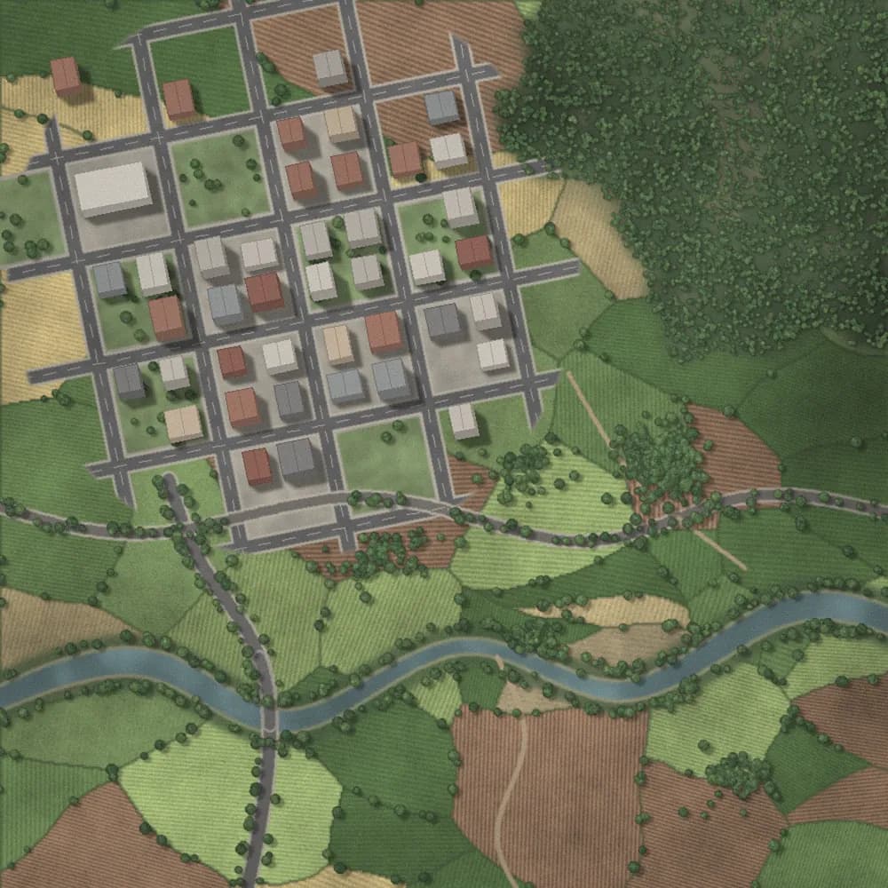

A Technology Company Built Around Aerial Intelligence
Hawk Aerospace works across aerial data capture, drone technology, 3D mapping, geospatial intelligence, AI and computer vision, digital twins, cloud-based platforms and industry-specific analytics.
From Reality Capture to End-to-End Intelligence
Hawk Aerospace's story is a progression — from capturing the physical world to delivering a complete, connected intelligence ecosystem.
Capture
Drones + RGB + Thermal + LiDAR
Process
Photogrammetry + AI + Computer Vision
Map & Model
GIS + 3D + Digital Twins
Analyze
Measurements + Monitoring + Intelligence
Deliver
Dashboards + Reports + Digital Experiences
Capabilities Across the Full Stack
Aerial Capture
Drone-based reality capture across sites, corridors and fields.
3D Mapping
Orthomosaics, DEM/DSM and 3D mesh models from aerial imagery.
AI Analytics
Deep learning models that turn imagery into structured intelligence.
Geospatial Intelligence
GIS mapping and spatial analytics for planning and operations.
Digital Twins
Interactive, geo-registered 3D representations of real assets.
Cloud SaaS
Cloud-first platforms for processing, storage and delivery.
RGB / High-Resolution Imaging
High-resolution visual capture for mapping and documentation.
Thermal Imaging
Temperature-based visual intelligence for inspection and analysis.
LiDAR
Dense spatial data for terrain, structures and complex environments.
One Connected Workflow, End to End
Built for Real-World Sectors
Real Estate
3D property visualization and construction progress monitoring.
Agriculture
Crop intelligence and precision field operations.
Infrastructure / Utilities
Asset inspection, monitoring and geospatial mapping.
Power Line Inspection
Aerial inspection of transmission and distribution infrastructure.
One Partner, One Connected Workflow
Hawk Aerospace owns the full chain from physical reality to actionable intelligence — hardware, data, software and SaaS, working as one system rather than a set of disconnected tools.
End-to-End Ecosystem
Hardware + data + software + SaaS.
Multi-Sensor Intelligence
RGB + Thermal + LiDAR + aerial data.
AI-Powered Analysis
Move beyond raw imagery toward useful intelligence.
Cloud-Based Delivery
Access outputs, analytics and reports through modern platforms.
Let's Turn Aerial Data Into Intelligence.
Talk to Hawk Aerospace about your next mapping, monitoring, property or agriculture project.