Hawk Aerospace

AI-Powered 3D Mapping & Geospatial Intelligence

SkyMap

AI-powered 3D mapping and modelling for property visualisation, infrastructure monitoring, and geospatial insights.

Explore, measure, and analyse real-world environments in immersive 3D.

Choose your use case

  • Modern glass home illuminated at blue hour

    Real Estate

    3D and 360° property visualisation for builders, developers, sellers and buyers.

    Explore Real Estate

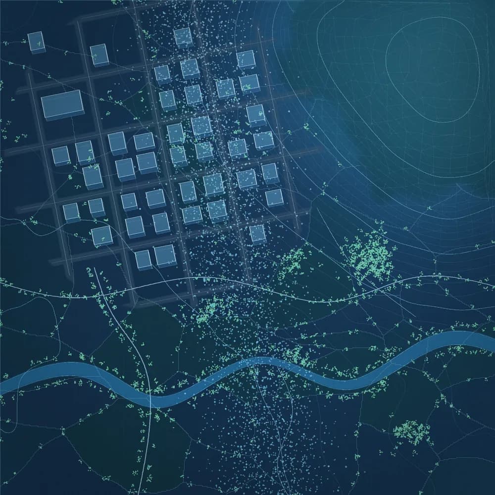
  • Digital-twin map of a built-up area

    Infrastructure

    3D mapping and visual monitoring of built assets and construction progress.

    Enquire
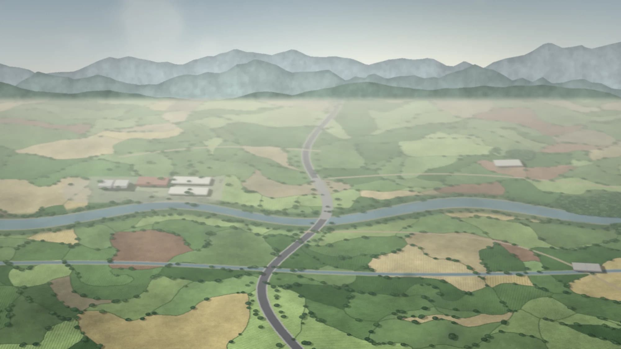
  • Aerial view of a road crossing farmland and a river

    Roads & Highways

    Aerial surveys and corridor mapping for road and highway assets.

    Enquire
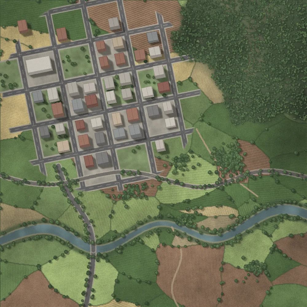
  • Aerial 3D terrain model with roads and settlements

    Pipelines

    Corridor mapping and visual inspection along pipeline routes.

    Enquire
  • Aerial view of a corridor through open landscape

    Railways

    Corridor mapping and aerial documentation along rail routes.

    Enquire